In February 2015 Google Maps celebrated their 10th birthday and a decade of spatially enabling the world. While Google’s ongoing investment in mapping and the beloved street view is assured, they have decided to abandon their enterprise products as a revenue generator. Following this business decision Google announced that they would no longer support the Google Earth API, Google Earth Enterprise and Google Maps Engine, which will all be discontinued at the end of this year. They have also made Google Earth Pro available for free.
Google has reached out to fellow Californian based mapping company Esri between them they provided a path for Google enterprise customers to transition to Esri software. Esri provides a scalable geo-spatial technology stack that enables individuals to discover, make, use and share maps from any device, at any place, any time.
An overview of Google Maps for Work products and the equivalent Esri products are tabled on a dedicated page that will help businesses to transition from Google technology to Esri. Esri’s web mapping platform and out of the box applications will ensure a smooth transition to this leader in geospatial technology. So, if you have been using google for your business, you will be glad to know that …
You can already move data easily between Google and Esri
For a number of years it was already possible to move data easily between Google to Esri using the existing ArcGIS desktop geoprocessing tools. Available at all license levels there are conversion tools to convert a KML or KMZ file into feature classes and layer files. The layer file maintains the symbology found within the original KML/KMZ file. There is also geoprocessing tools available for the reverse conversion.
Moving to the server and online platform, it is possible create KML from your map and image services in ArcGIS for Server. This process involves authoring maps in ArcGIS for Desktop, publishing the service with KML capabilities enabled, then making the service available for others to view.
But, what about Google Earth?
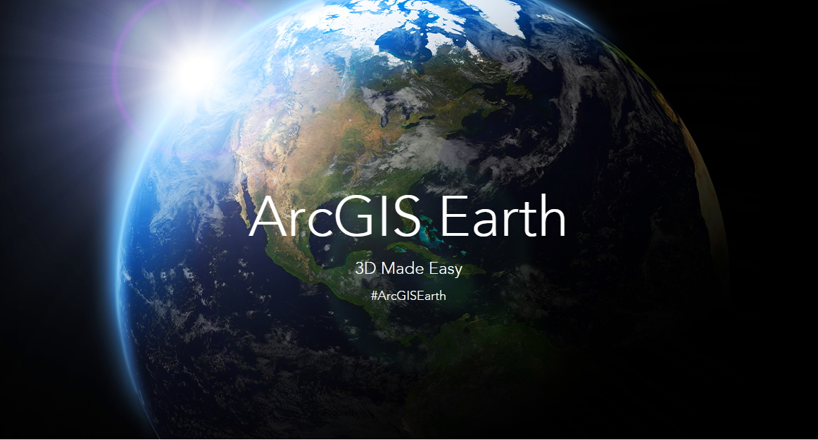
Esri are in the process of developing ArcGIS Earth. This will be a free, lightweight, installable desktop app that makes viewing 3D maps instant and easy for anyone in the enterprise. It will be similar in functionality and ease of use as Google Earth.
ArcGIS Earth will support KML/KMZ files, but in addition you can also in the first release view Shapefiles, CSV files, Feature services shared in ArcGIS Online and web layers.
An advantage of this product is that it will be fully integrated with the ArcGIS platform allowing users to take advantage of data already published to ArcGIS Online or Portal for ArcGIS. The launch is planned for the end of 2015.