AfricaGIS
History
The AfricaGIS Conference and Exhibition series have become a flagship Geospatial Information marketplace in Africa. For the past 20 years, the series have contributed immensely to the development of skills and institutional capacity in geo-information across the continent. These fora have served as platforms for bringing together hundreds of key stakeholders including professionals, government officials, development agencies, policy and decision makers to deliberate on innovations in the field of geospatial information technology and its potential contribution to development, share knowledge and experience on applications, and advancements in assisting to address developmental challenges.
Following its launch in 1993, these conference and exhibition series have been very instrumental in creating geospatial information and technological usage awareness in Africa. Sequential editions focused on the narrative of the potential of (i.e., what could be done with) geospatial information, and the need to build capacity for this. The success of the initiative has been attested to by the fact that over time and with subsequent editions, it has attracted an increasingly diverse group of experts and organizations whose participation have constantly brought significant value-adding elements to the discussions and proposals.

Since the launch of the AfricaGIS initiative information and communication technologies have seen tremendous advancements, geospatial data has become increasingly available for use globally, geospatial information technology has matured, and its applications have become common place, even on hand-held devices such as smart phones. Despite these developments, however, geospatial and statistical information remains woefully underutilized in Africa, and much remains to be done in this respect. The availability and reliability of data remains a critical challenge in Africa, and this continues to negatively affect the quality and impact of policy decisions aimed at addressing developmental challenges.
On the socio-economic development front, there is currently a renewed sense of urgency about transforming the continent. African leaders have launched the continent’s own vision for transformation, the African Union (AU) Agenda 2063: “The Africa We Want”. Among other things this indigenous continental strategic development framework aims “to optimize the use of Africa’s resources for the benefit of all Africans”. At the same time, world leaders also adopted a global framework, “Transforming our world: the 2030 Agenda for Sustainable Development”, in September 2015. Both the AU Agenda 2063 and Sustainable Development Goals (SDGs) share the same goal of achieving inclusive socio-economic development, with a commitment by governments to mobilize efforts to end all forms of poverty, fight inequalities and tackle climate change, while ensuring that no one is left behind.
These vision and strategic frameworks point to the direction where Africa wants to be in the not-so-far future, and they impose critical imperatives for geospatial and statistical information on African countries. The initiatives involve huge projects on regional integration, (social, political and economic) transformation, infrastructure development, poverty alleviation, food security, modernization of human settlements, improved development services, etc., among others. These agendas for transformation therefore underscore a critical urgency and refocus renewed attention on the importance and necessity of data to support Africa’s transformation evidence-based decision-making for development effectiveness. Given the critical imperatives for geospatial and statistical information imposed by the transformative agenda for the continent, there is a tremendous opportunity for repositioning and centre-staging geospatial information in the development discourse in Africa. There is a critical need to ensure that geospatial and statistical information permeates all aspects of society, in a ready-to-use format to support analysis and guide socio-economic decisions to address the challenges that affect the continent.
EIS-AFRICA’s is unique in its ability to organise large events, engage with donors, sponsors, attract international experts, and deliver true capacity building to all sub-regions in Africa.
EIS-AFRICA manages and runs AfricaGIS which is Africa’s premier conference and exhibition focussing on geospatial information science, technologies, and applications.
The primary objective of AfricaGIS is to provide a platform for geospatial professionals from Africa to learn about geospatial information science and technology and its applications. It provides a forum for geospatial professionals to meet, interact, and be exposed to new product development, emerging trends, and other current topics. It also provides a unique opportunity for interaction among practitioners to share information and knowledge to advance the development and application of geospatial information science and technologies to meet African developmental needs.
AfricaGIS, is the largest and oldest running African GIS and Earth Observation conference and is committed to capacity building and operated by African institutions on a not–for-profit basis. AfricaGIS has been hosted in the following countries:
- Tunis, Tunisia (1993)
- Abidjan, Côte d’Ivoire (1995)
- Gaborone, Botswana (1997)
- Accra, Ghana (1999)
- Nairobi, Kenya (2001)
- Dakar, Senegal (2003)
- Tshwane, South Africa (2005)
- Ouagadougou, Burkina Faso (2007)
- Kampala, Uganda (2009)
- Addis Ababa, Ethiopia (2013) in conjunction with the GSDI Association
- Addis Ababa, Ethiopia (2017)
- Kigali, Rwanda (2019)
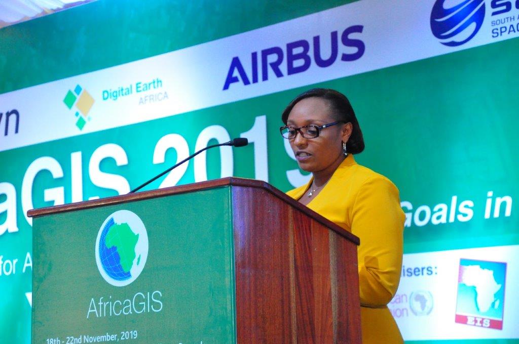
In 2019, the 12th AfricaGIS conference and exhibition marked the 27th year since the launch of this event for geospatial scientists and users of geo-information technologies in Africa and held in Kigali, Rwanda. Hosted by the University of Rwanda, were over 600 participants from 40 countries in attendance.
EIS-Africa is planning to host AfricaGIS 2021 and has already received bids from Ivory Coast, Cameroon, Kenya and Ethiopia.
Members of the EIS-Africa Board

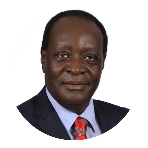
Wilbur Ottichilo – Kenya (Director)

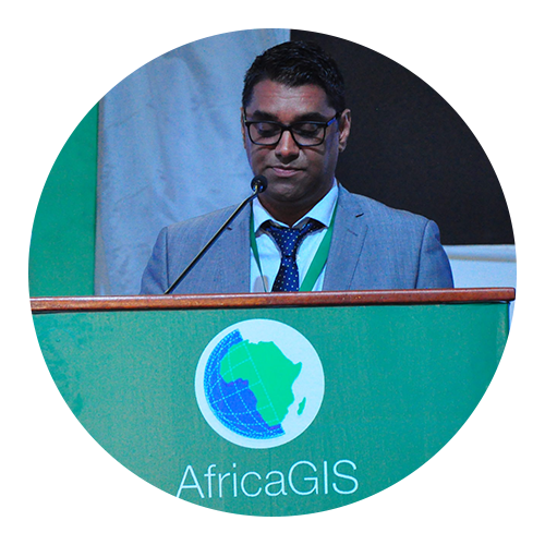
Sives Govender – South Africa
(Co-ordinator of AfricaGIS)

Dan Tunstall – USA (Ex-Officio Director)
