![]()
Version 1 of ArcGIS Earth was officially released mid-January 2016. The application offers functionality to share data in a similar way that Google Earth does.
For Esri customers ArcGIS Earth offers additional value as it makes data viewing in realistic 3D and data sharing possible across the platform – from the desktop, mobile, server or custom developments, the same authoritative data can now be viewed in ArcGIS Earth.
Some advantages of ArcGIS Earth are:
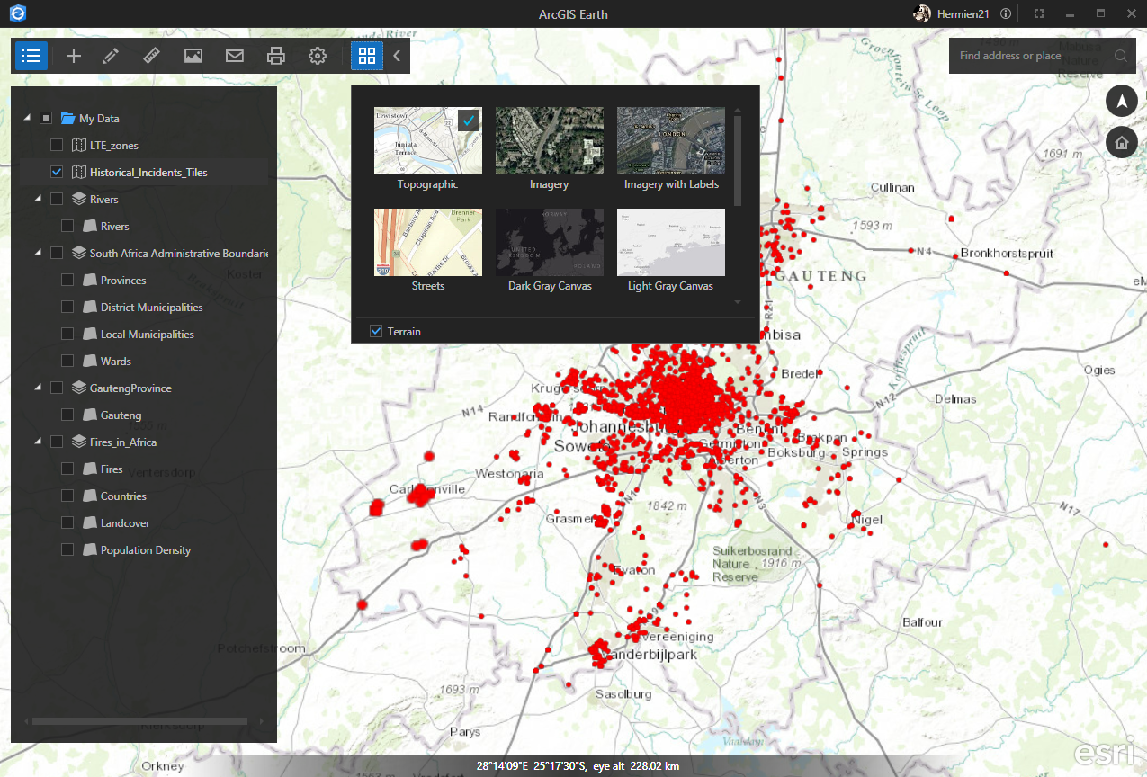
1. Basemaps
ArcGIS Earth offers a choice of 10 global Basemaps ranging from street maps, to terrain and imagery at the click of a button. Simply set the Basemaps to suit the data that is displayed. This means you always have access to high quality, global data that is being constantly updated for you.
Multiple datasets from various online or offline sources can be viewed in context of a Basemaps of your choice.
2. Collaboration & Content
If you are an existing Esri client with a Portal (or ArcGIS Online) identity you have full access to your organization’s authoritative content in the form of map and feature services, which means you can do your work quicker and easier than before. Sharing data requires no conversion, saving you time and money.
3. Ownership & Security
With ArcGIS Earth you have the ability to share GIS content that is 100% secure in an existing ArcGIS Online or Portal environment.
- The level of data access is controlled by your Portal identity. Users can only access data they have been granted access to.
- When information is added to ArcGIS Earth it remains the property of organisation/person who published it. This is different from other software providers may keep data even after you have removed it.
- It is not possible to extract or download data from ArcGIS Earth. You can share a view of your data without giving it away. This is great because you can rest assured that your company’s data is safe and secure while using the latest technology to do your work.
4. Save your last session
There are several setting that can be customized. Among them is the possibility to have the Start-up view to continue where you left off. This setting remembers your location, Basemaps and all the other layers that were added during your last session. This can save you time when starting to work each day!
5. Limitations
ArcGIS Earth is great as a free tool for realistic 3D data visualization and sharing data in collaboration with your colleagues and customers. As with all software, there are currently a few limitations:
- The file based data formats are limited to shp and kmz/kml. If you wish to use data from other Esri sources it must be published to a map or feature service first.
- Where the symbology of file based features can be changed and the popups are visible, this is not the case for feature and map services. It is not possible to change the symbology or transparency of service layers to view data in context of layers below. It is also not possible to label or set popups for a service layer.
In conclusion
ArcGIS Earth version 1 has many useful features and boasts unrivaled global Basemap content. It is a great way to share your data securely with anyone, any place, anytime. So, have a go! You can download it for free.