Who is
GeoGoose?
Founded to meet the growing need for geospatial reporting of environmental monitoring information, GeoGoose got its start working with players in the African mining sector. The company produces high-end technical maps and smart integrated geospatial solutions which enable environmental engineers to view their fieldwork data spatially and to analyse it timeously.
The Challenge
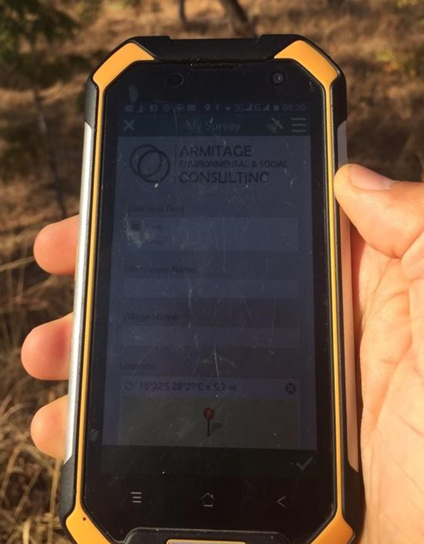
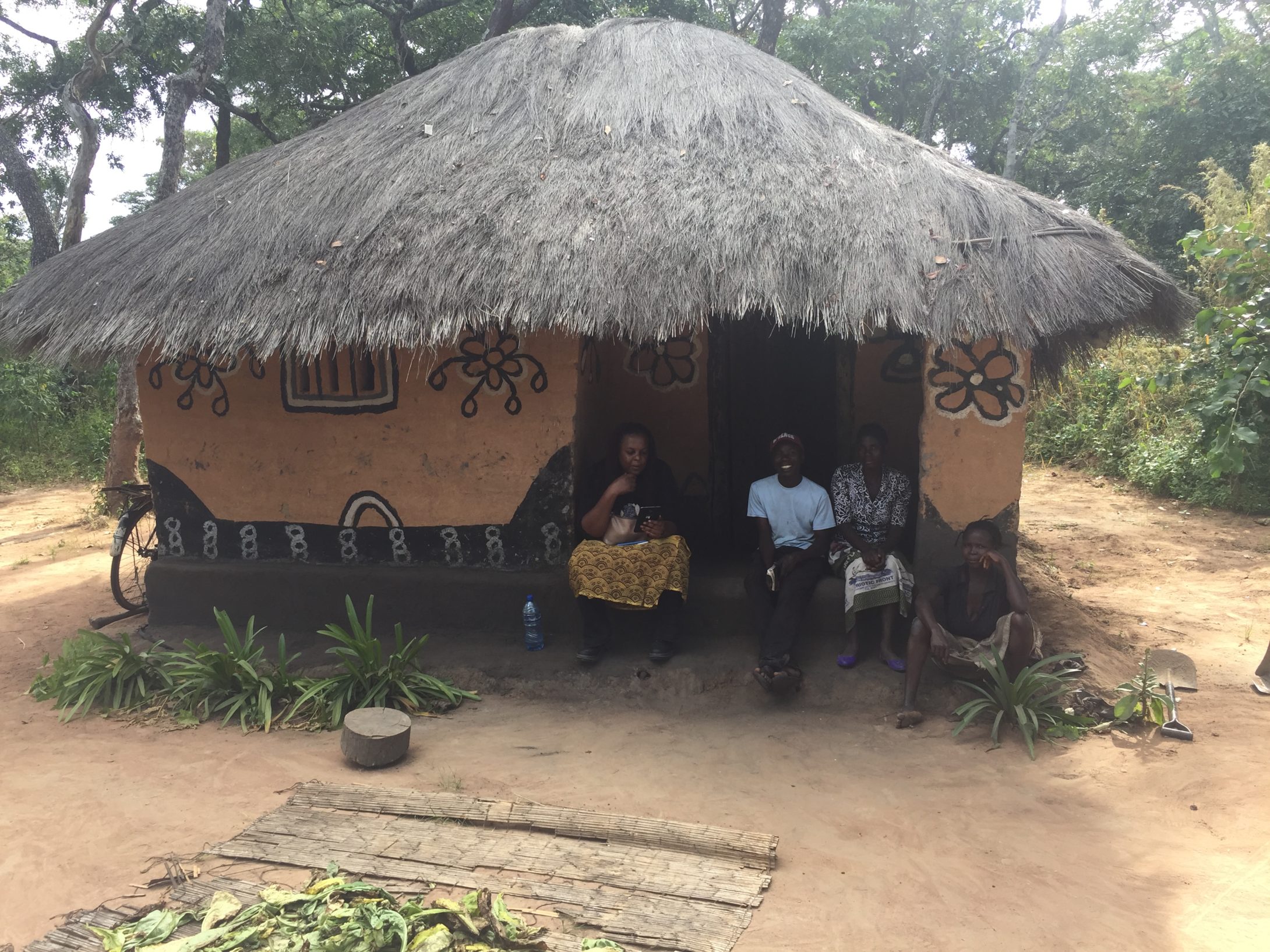
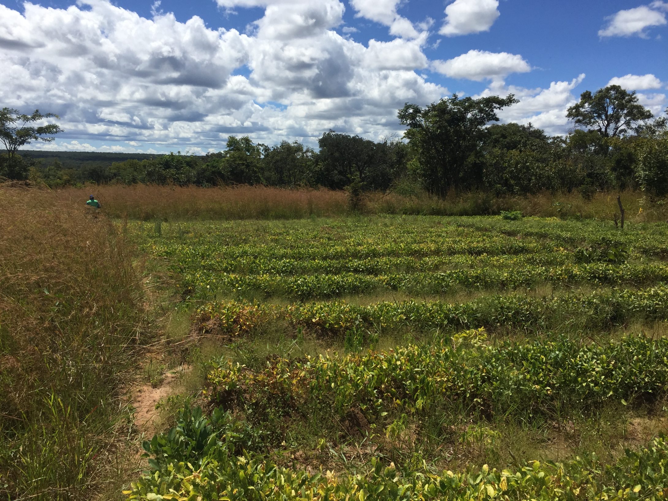
Social impact assessments are an international regulatory requirement whenever new infrastructure is proposed that will impact on local communities. The impact may involve individual households or entire villages being resettled and compensated. Extensive and accurate social impact assessments are often required in remote areas, necessitating surveys that accurately record the details of interviews with affected people and map the position of structures (inclusive of tagged photos), cultural heritage sites (such as cemeteries or sacred trees), fields, infrastructure, access routes to water sources and related environmental and social aspects.GeoGoose was approached by Armitage Environmental and Social Consulting (AESC), one of the leading environmental consultancies in Zambia, and asked to design field surveys and identify tools that would enable AESC to offer smart surveys. This involved replacing AESC’s paper-based survey methods and designing an enhanced smart survey service offering for its clients.
The Solution
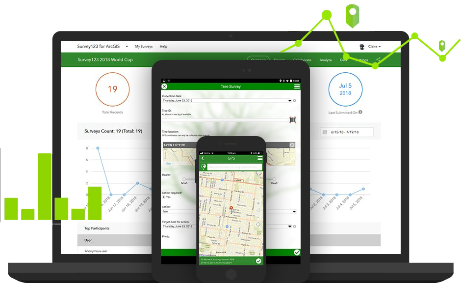
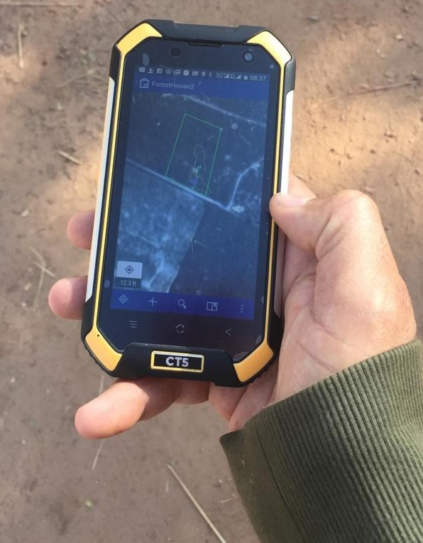
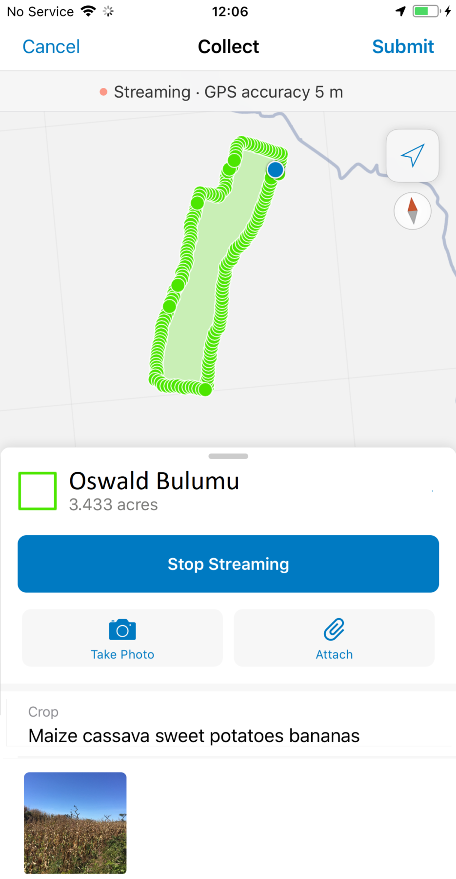
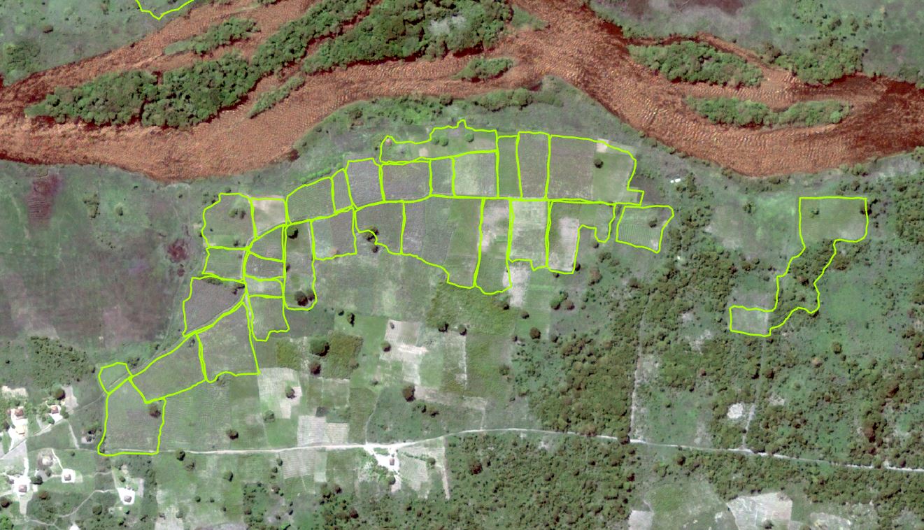
Collector for ArcGIS and Survey123 were identified as the industry leading tools to facilitate the collection of data in a recordable, repeatable and efficient manner. Surveys were designed and tested using Survey123 and relevant data (satellite imagery, project layouts and editable shapefiles) uploaded onto Collector, before being issued to field agents for download. Field agents were sent out into the field with simple smart phone devices with the apps and information downloaded (Android and IOS). They can synchronise the data they collect plus any updates using mobile data or WiFi coverage. If communication signal is lost, the device stores information offline for synchronisation once it is re-established. The Survey123 form design allows for easy smart form development. The field surveys are designed to optimise what questions are shown based on the previous answers e.g. don’t ask what crops are cultivated if the respondent has just said they don’t have any fields. Data collected in Survey123 and uploaded to the cloud is analysed for trends and patterns, and is spatially represented, enabling the team to present data to the client almost immediately.
Benefits
The survey results are available immediately online and the synchronisation with desktop maps is almost simultaneous. This enables head office to visually see and respond to the queries of field agents in near-real time catching potential errors, reducing post-survey clean-up time and common spelling errors, (mango, mangoes, mangos) (usually a major issue with traditional paper-based surveys). Errors involving incorrect locations can be very costly. Survey123 smart forms and Collector offline field maps minimise errors and reduce the chance of being in the wrong area, with synchronisation providing a layer of data protection as information is saved to the cloud. The ability to track fieldwork is immensely important to confirm completeness of the survey. The ability of field staff to record points, polygons and polylines with attachments such as notes and photos directly into Collector while in the field boosts efficiency by enabling survey teams to collect significant amounts of good quality data. Being able to walk the path of proposed infrastructure, and visually see where teams need to go, undoubtedly provides a distinct competitive advantage over survey teams armed with paper maps.
Collaboration with Esri South Africa
GeoGoose was supported by Esri South Africa, as part of its community programme, with affordable licensing. Kate Bray, owner of GeoGoose, says: “We are very grateful to have had the support of Esri South Africa. They also contributed a Juniper Rugged Handheld CT5 field device which inspired the use of Collector for ArcGIS and Survey123 in the field and led us to where we are today.”