Forestry Monitoring using GIS
Forestry Monitoring using GIS
Who is Swift Geospatial?
Swift Geospatial is a geospatial solutions company providing their clients with geospatial solutions derived from Satellite and Unmanned Aerial Vehicles (UAV) collected data. This data is transformed into geospatial knowledge through Remote Sensing and GIS analytics.
The Challenge
How can we leverage satellite and GIS technology to monitor large scale natural and planted forestry throughout the African continent, at a frequency that can provide valuable decision support to the end client.
The Solution
Swift Geospatial has designed and implemented an online portal capable of providing a proactive forestry monitoring solution for natural and forestry plantations. This is achieved by using the latest high resolution multispectral satellite imagery and cloud processing technology. The monitoring results can be generated and delivered at a frequency that suits the business operation and budget. This can be quarterly, monthly, weekly or even daily. With dynamic cloud-based processing, solutions can scale from one compartment to an entire plantation covering many thousands of square kilometers.
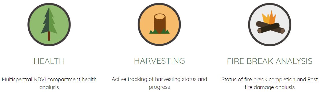
Making use of the latest satellite and cloud technology, Swift Geospatial is able to remotely monitor forestry plantations for tree health, harvesting progress and fire break status. Satellite data is fed into our custom cloud processing engine and the results are delivered to the cloud platform in near real time. This solution offers the quickest and most cost-effective solution to monitoring forestry plantations of any size.
Having the ability to log into any computer or smart device and visualize and interpret your forestry status in near real time will provide proactive monitoring. Benefits include: Near real time plantation analytics, Near real time imagery, Active alerts, Proactive plantation graphics, 24/7 Platform access, Esri compliant.
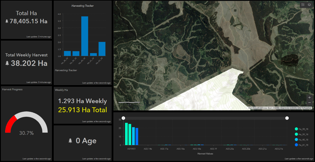
Above is an image of a typical expected dashboard for forestry monitoring.
To learn more about Forestry Monitoring using Geographic Information Systems email [email protected]
The Challenge
– Monitoring large scale natural and planted forestry throughout the African continent.
The Solution
– ArcGIS online portal capable of providing a proactive forestry monitoring solution for natural and forestry plantations for informed decisions.
Benefits
– Near real time plantation analytics, Near real time imagery, Active alerts, Proactive plantation graphics, 24/7 Platform access.