AfricaGIS 2025 and
UN-GGIM: Africa XI Joint Conference
Alisa Hotel, Accra, Ghana | Nov 17 – 21, 2025
Harnessing Geospatial Intelligence for Africa’s Sustainable and Resilient Future

AfricaGIS 2025 and
UN-GGIM: Africa XI Joint Conference
Alisa Hotel, Accra, Ghana | Nov 17 – 21, 2025
Harnessing Geospatial Intelligence for Africa’s Sustainable and Resilient Future
AfricaGIS 2025 and
UN-GGIM: Africa XI Joint Conference
Alisa Hotel, Accra, Ghana | Nov 17 – 21, 2025
Harnessing Geospatial Intelligence for Africa’s Sustainable and Resilient Future
AfricaGIS 2025 returns as the continent’s premier Geospatial Information conference and exhibition, bringing together a global community of innovators, policymakers, researchers, and development leaders.
Now in its latest edition, AfricaGIS has, for over two decades, served as the flagship marketplace for geospatial knowledge and innovation in Africa—playing a transformative role in building professional skills and strengthening institutional capacity across the region.
This year’s event will be even more impactful with the co-hosting of the UN-GGIM: Africa XI Conference, led by the United Nations Economic Commission for Africa (UNECA). This landmark collaboration underscores the critical importance of geospatial intelligence in achieving Africa’s development goals.
Hosted locally by the Land Commission of Ghana and co-organised by the Licensed Surveyors Association of Ghana, AfricaGIS 2025 and UN-GGIM: Africa XI promises to deliver a dynamic platform for high-level dialogue, collaboration, and innovation.
What to Expect:
- A powerful global gathering of professionals, government officials, academia, private sector, and development partners.
- In-depth discussions on emerging geospatial technologies, cutting-edge applications, and innovative strategies.
- Opportunities to showcase solutions, build partnerships, and shape the future of Africa’s geospatial ecosystem.
- A vibrant setting in Accra, Ghana, known for its rich culture and hospitality.
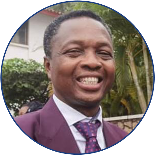
Honorable Alhaji Yusif Sulemana (MP)
Honorable Alhaji Yusif Sulemana is a distinguished Development Finance and Tax Analyst, banker, and politician with extensive experience in the financial and legislative sectors. Academically, Alhaji Sulemana is currently pursuing a PhD with a research focus on taxation.
He holds an MPhil in Development Finance from the Ghana Institute of Management and Public Administration (GIMPA), an Executive MBA in Project Management, and a BSc in Administration specializing in Banking and Finance from the University of Ghana (UG).
He is the member of parliament for the Bole/Bamboi constituency. Honorable Alhaji Yusif Sulemana, the Deputy Minister of Lands and Natural Resources will represent the Government of Ghana at the AfricaGIS 2025 and UN-GGIM: Africa XI conference.
Keynote Speakers

Honourable Alhaji Yusif Sulemana
Deputy Minister of Land & Natural Resources | Government of Ghana

Dr. Tidiane Ouattara
President of the African Space Council, African Space Agency

Dr. Diane Dumashie
President | FIG
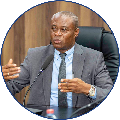
Dr. Wordsworth Odame Larbi
National Board Chairman | Lands Commission
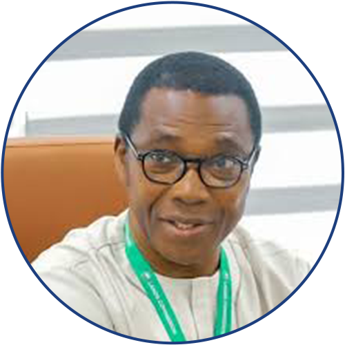
Andre Nonguierman
Chief of Geospatial Informations | United Nations Economic Commission for Africa
Stephan Djaba
Vice President | (LiSAG) / FIG D&I Chair

Sohail Elabd
Director of Emerging Markets | Esri Inc.

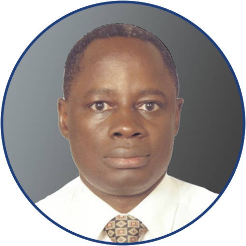
Nigel Edmead
Senior Director of Learning | Open Geospatial Consortium

Timothy Fella
Geospatial Authorities Lead | Esri Inc.
Sponsors


![]()
Partner Agencies


.
Hosting Government
![]()