AfricaGIS
AfricaGIS 2019 | Conference Summary
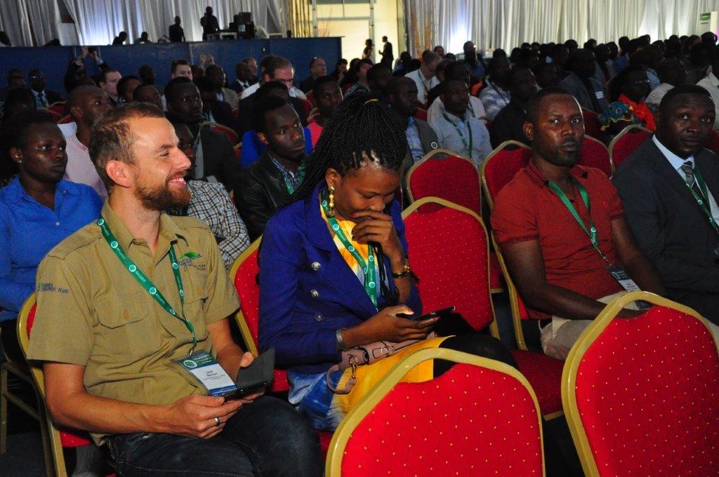
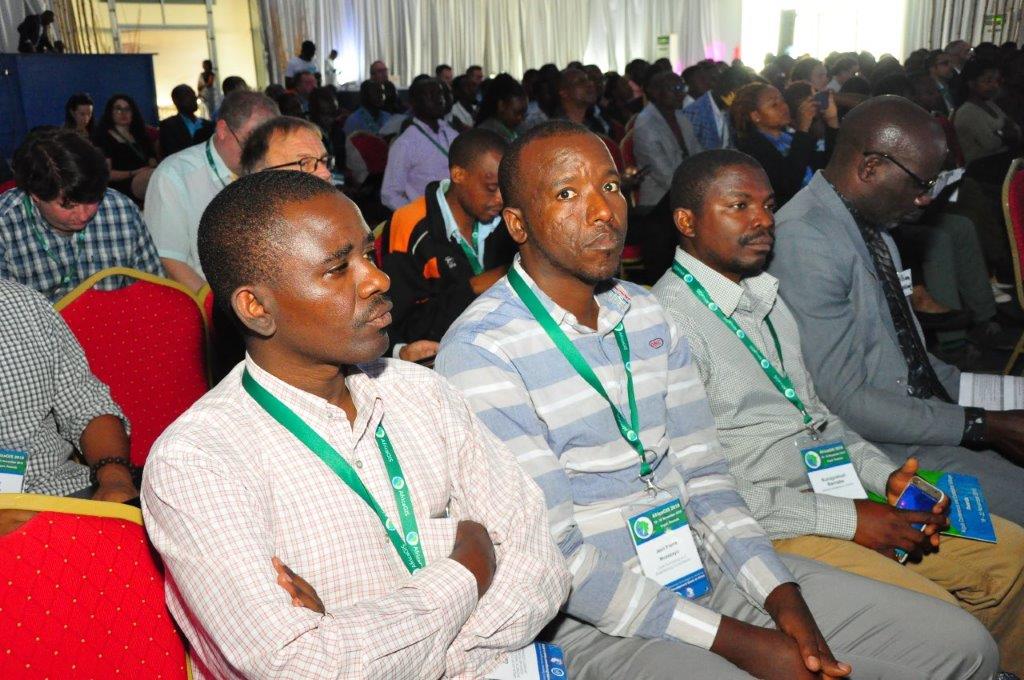
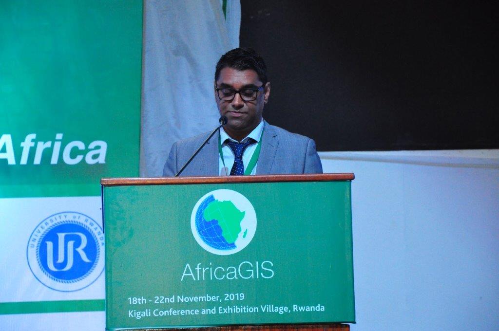
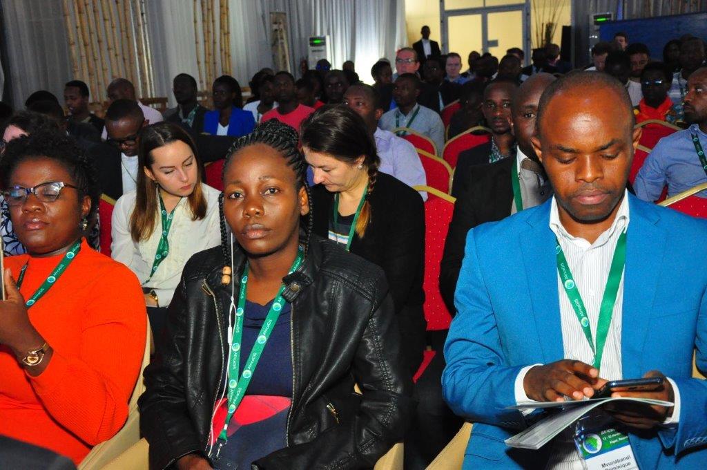
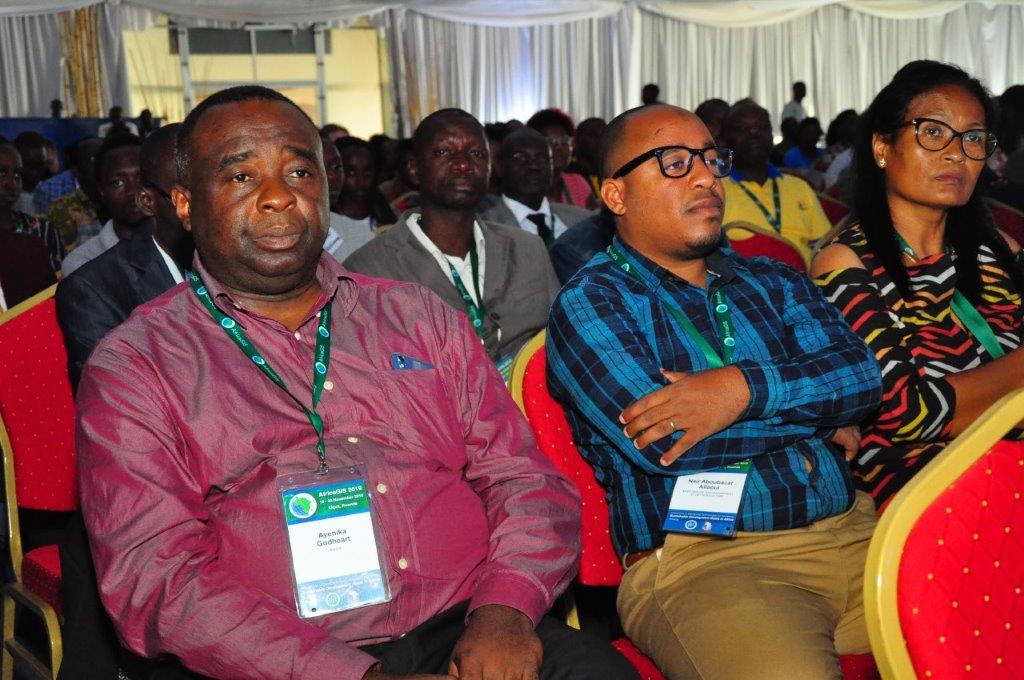
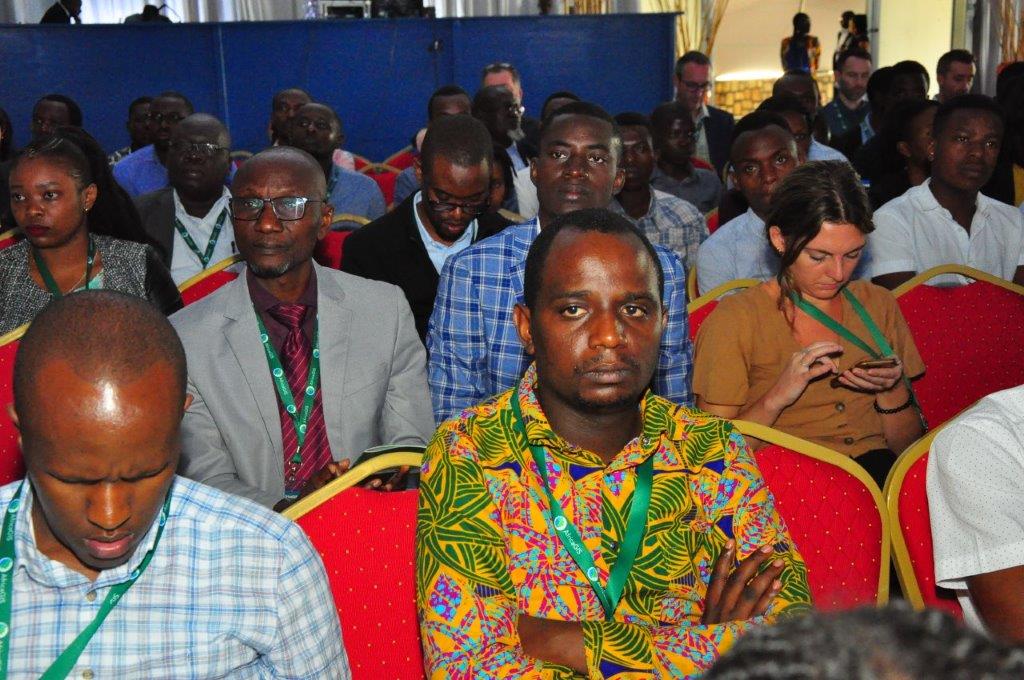
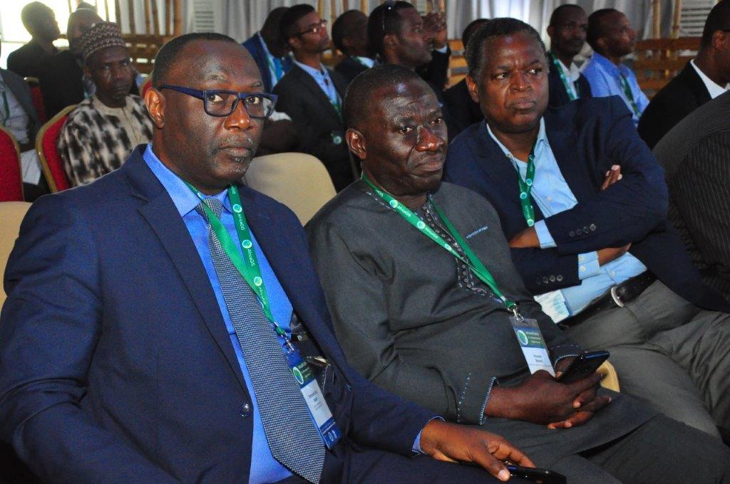
At least 500 delegates from around the world convened in Kigali at the University of Rwanda for the 16th edition of AfricaGIS, the first of which was held in 1993.
Hosted and organized by EIS-Africa and the University of Rwanda through its Centre for GIS and Remote Sensing, the conference explored the role of innovations in geospatial information and its implication in addressing the 17 SDGs targets for an inclusive, prosperous and sustainable African continent. The biennial conference contributes to the development of skills and institutional capacity across the continent.
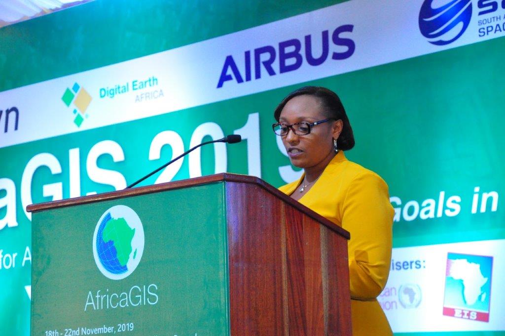
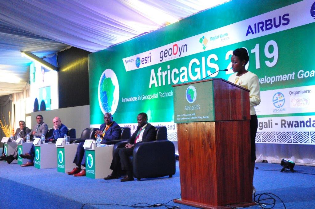
The conference was officiated by Hon. Paula Ingabire the Rwanda Minister of ICT and Innovation. Speaking on the occasion, Paula noted that the conference is in line with the Government set objectives to place digital technologies and innovation as a priority but also as key drivers for economic growth. She also stated that the country understands the potential of GIS and geospatial data to strengthen land administration and management among others while supporting Government decision making.
“Today Geospatial data is used by multiple public institutions for either better management of their data or through supporting decision making in different domains such as public health, education, transportation, urban planning, agriculture to mention but a few,” said Paula, adding that GIS will be instrumental for the success for Rwanda vision 2050 next chapter.
Sives Govender, the EIS-Africa executive director, commented that the conference is about learning, collaborating, sharing and building networks for future partnership. He believes that the community of experts and scientists are the ones to provide scientific sound information to support decision making. Govender called on conference participants to use their experience and look at innovative ways to meet social economic and development challenges which will ultimately improve the lives of people.
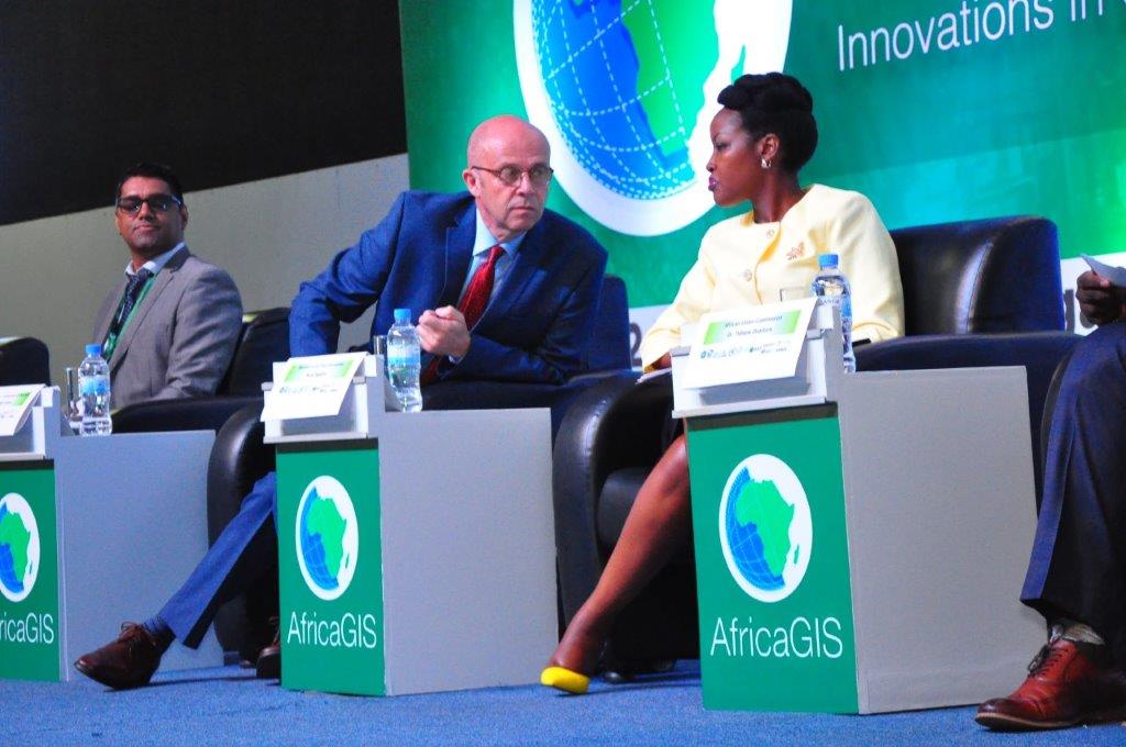
A team of experts from the GMES and Africa programme of the African Union Commission were among some of the delegates attending. The Commission is among the leading supporters of the conference, which is in conjunction with the mandate of the Global Monitoring for the Environment and Security and Africa (GMES and Africa). The Coordinator of GMES and Africa and Space Science Expert at the African Union Commission, Dr. Tidiane Ouattara, addressed the conference theme “Innovation in Geospatial Technologies for Achieving Sustainable Development Goals in Africa”.
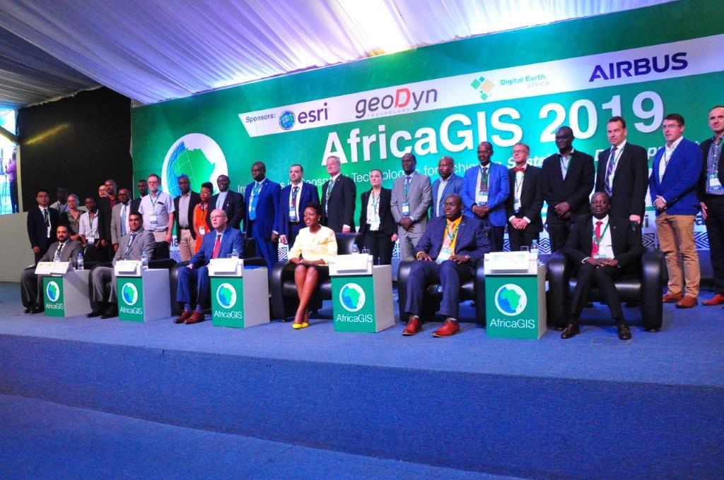
Dr. Ouattara said the theme resonates with the aspirations of the African Agenda 2063, and dwelt on how Africa is facing the dynamics, challenges and imperatives of technological innovation to uplift the living conditions of people on the continent.
The conference attracted delegates from 40 countries with a full five-day agenda, including pre-conference workshops and an exhibition which included various organisations showcasing latest trends in geospatial technology.
In his remarks, Prof Phill Cotton, the Vice Chancellor of the University of Rwanda commended the people behind the organization of the conference. He added that GIS community is made of dedicated people who are leading the way in assisting the nation and its people to make informed decisions and do their things properly.
Presentations
Tuesday Morning
Dr Lee Schwartz
Sohail Elabd
Tuesday Afternoon
Jussi Rasinmaki
Roman Meyer
Airbus
Esri
GeoDyn
Stephen Peedell
Dr. Maniragaba Abias
Jean Baptiste Hategekiman
Jean Pierre Mugabo
Queen Noëlla Bwiza
Geospatial Information for Sustainable Groundwater Management
Sebastian Palmas & Jordan Chamberlin
A spatial ex ante framework for guiding agronomic investments in Tanzania
Wednesday Morning
Nosiseko Mashiyi
Dr Adam Lewis
Jean Damascene Niyonsenga
Spatial Analysis of soil erosion sensitivity using RUSLE model in Nyamasheke district, Rwanda
Roman Meyer
Rutazuyaza Vaillant Byizigiro
Shengce Wang
Wednesday Afternoon
Brian Tomaszewski
Dr Lisho Mundia & Elisia Sheya
Pekka Sarkola & Niina Ahtonen
Open Source GI Solutions for the Management of Geological Data and Mining Cadastre
Rob Nieuwenhuis
Robin Workman
Dr. Tubolayefa Warekuromor
Harnessing Spatial Data Infrastructures: A Scalable, Bottom-up, Distributed Approach
Bruce McCormack
Dr Jean Pierre Bizimana
Xiaoyu Zhang
Thursday Morning
JeanPierre Samedi Mucyo
Social factors are the main driver of space use in Virunga mountain gorillas in Rwanda
Kristen Kurland
Prof. Alfred R. Bizoza
Kaspar Kundert & Audrey Royston
High resolution Population and Poverty Maps to assess Purchasing-Power in Rwanda and Uganda
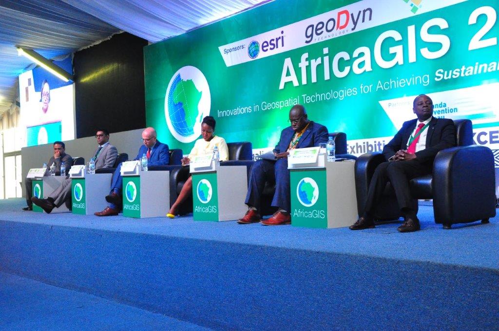
Thursday Morning Panel
Thursday Afternoon
Alex Mudabeti & Esther Simasiku
Towards a spatially-enabled society: Building the Namibia spatial data infrastructure
Hitimana Jean Pierre
The role of ICT to promote Land Administration: case study Rwanda
Posters
Usabimana Augustin
Assessing Spatial-Temporal Changes of Land Use: Case Study in Runda Sector
Emile Niyonkuru & Bryant Hirwa Shimwa
Landslide Hazard Mapping and Risk Assessment Using GIS. Case of Nyabihu District, Rwanda
Highlights from the AfricaGIS 2019 conference
Organising Committee
Sives Govender
sgovender@eis-africa.org
Clarisse Kagoyire
kclarisse@gmail.com
Gaspard Rwanyiziri
grwanyiziri@gmail.com
Maurice Mugabowindekwe
mugabomaurice@gmail.com
Kaspar Kundert
kasparjkundert@gmail.com
Lauren Sweidan
lsweidan@esri-southafrica.com
Bruce McCormack
brucemccormack.consulting@gmail.com
Larna Jackson
larna@eventoptions.co.za
Craig Schwabe
craig.schwabe@africascope-sa.com
Andre Nonguierma
nonguierma@un.org

